How Street Names and Numbered Grids Shape a Neighbourhood
Street names and numbered grids give neighbourhoods distinct identities and patterns. See how each shapes local memory, orientation and the feel of a place.
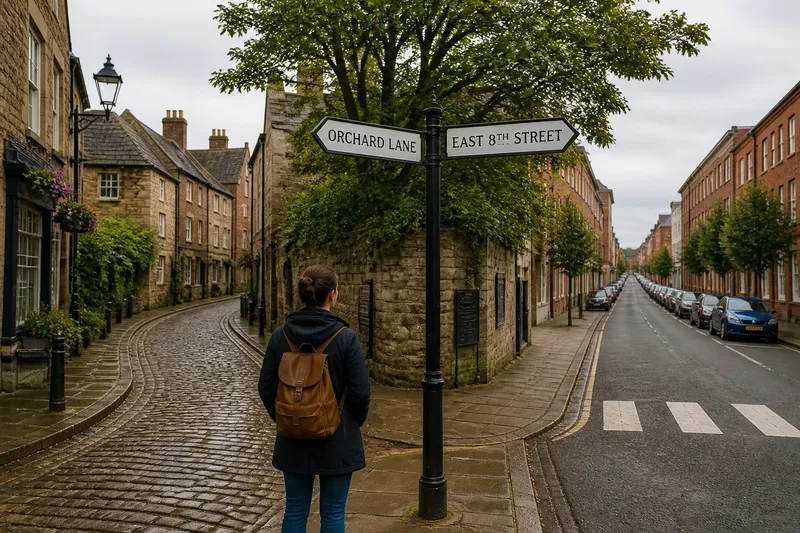
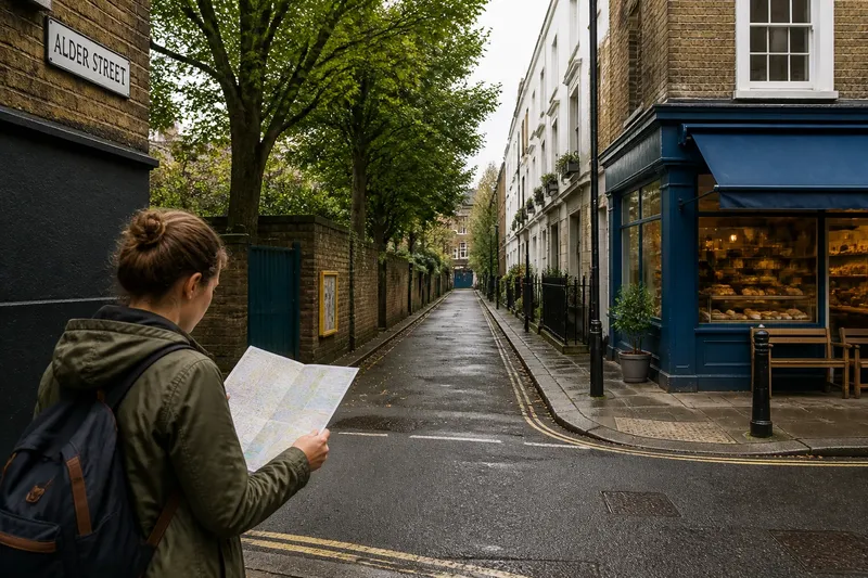
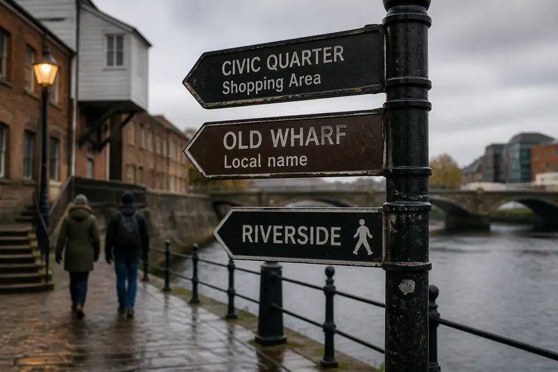
On a walk through an unfamiliar neighbourhood, a street sign can tell you more than where you are. “Orchard Lane” sounds like a place with a story; “East 8th Street” hints at an ordering system. Street names and numbered grids shape not only how people describe a place, but also how its pattern settles into local memory.
The two systems often overlap. A town may pair named roads with numbered avenues, while an older district keeps winding lanes beside a later grid. Their differences are most interesting in what they reveal about a neighbourhood’s character.
What do street names add to a neighbourhood?
A street name gives a location a phrase people can carry into conversation. Names drawn from trees, trades, landmarks or local history can make one block distinct from the next. “Meet me by the old mill on Foundry Street” ties a direction to an image as well as a route.
Names can also preserve layers of change. A road named for a former farm or creek may outlast the landscape that inspired it. Other names announce a newer identity, perhaps honouring a person or marking a planned development. The sign is brief; the associations around it can be much longer.
That richness has a tradeoff. Repeated names, similar sounds and long formal titles can blur together in everyday speech. Residents may shorten “Boulevard” to “Boulevard” or use a familiar nickname, while official signs retain the full version.
What does a numbered grid reveal?
A numbered pattern makes order visible. Streets that increase in sequence can suggest how the neighbourhood was laid out and where one district sits in relation to another. The numbers create a framework that is easy to describe, even when the individual blocks have few distinctive names.
Grids can also make a place feel legible and planned. Long, regular streets often produce clear sightlines and repeated intersections; changes in the sequence may mark a boundary, a park or an older settlement woven into the plan. The numbering is not a complete history, but its gaps and shifts can be clues to how the neighbourhood grew.
Local rules matter. Some grids use directional labels, some number streets in one direction and avenues in another, and some bend around terrain or a waterfront. A numbered street does not necessarily mean the whole area follows one tidy scheme.
How do names and grids affect local identity?
Names invite stories; numbers invite comparison. A distinctive street name may become shorthand for a shopfront, a parade route or a familiar corner. A numbered avenue may be known as the spine of a district, its sequence giving residents a shared mental structure.
Neither system determines whether a neighbourhood feels welcoming, lively or quiet. That character comes from many things, including the buildings, shops, public spaces and routines found along the street. Still, naming and numbering give people a language for those places.
Imagine a hypothetical town where the old centre has winding streets named after mills and orchards, while a later district uses numbered blocks. A new resident learns the old centre by remembering the names tied to its storefronts, but uses the grid to describe where a community hall sits relative to the library. The result is two different kinds of familiarity: one rooted in associations, the other in sequence.
What should you notice when reading a street pattern?
- Look for repeated names. If several streets share a theme, such as trees or local figures, then consider whether the pattern reflects a planned district; otherwise, treat each name as its own clue.
- Check for gaps in numbering. If a numbered sequence skips or restarts, then note where the pattern changes; otherwise, the grid may offer a useful broad outline of the area.
- Notice street types. If “Street,” “Avenue” and “Road” follow different orientations, then read them as separate parts of the local system; otherwise, avoid assuming the type carries a consistent meaning.
- Compare older and newer blocks. If a grid meets a crooked or irregular street pattern, then look for a likely boundary or older route; otherwise, the area may have been planned more uniformly.
- Listen for local shorthand. If residents use a shortened name, then keep both the spoken form and sign version in mind; otherwise, the official name may be enough to recognise the place.
- Notice what a name commemorates. If a sign refers to a person, landscape or trade, then look for nearby context that explains the connection; otherwise, avoid assigning a backstory based on the name alone.
What is not worth the effort? Trying to decode every street name as if it were a complete historical record. A name can be suggestive without explaining why it was chosen.
What do people ask about street names and grids?
Why do neighbourhoods use numbered streets?
Numbering can create an orderly sequence that makes districts easier to describe and plan. It may also reflect a particular period of development, though the pattern alone does not tell the whole story.
Why do street names repeat?
Names may be reused across separate towns or districts, and a familiar name can be selected by different developers or local authorities. The full street type and place name help distinguish one from another.
Can a numbered grid include older streets?
Yes. A planned grid can meet older roads that curve, change direction or interrupt the sequence. That contrast often makes the boundary between different phases of growth visible.
Do street names preserve local history?
Sometimes they do, especially when names refer to former land uses, people or natural features. But a name is only a clue; local records or community knowledge may be needed to understand its origin.
Street names and numbered grids both shape how a neighbourhood is spoken about, but in different registers: one offers associations, the other a visible order. As you walk, notice where the pattern holds and where it breaks. Those transitions often reveal more about a place than any single sign.